


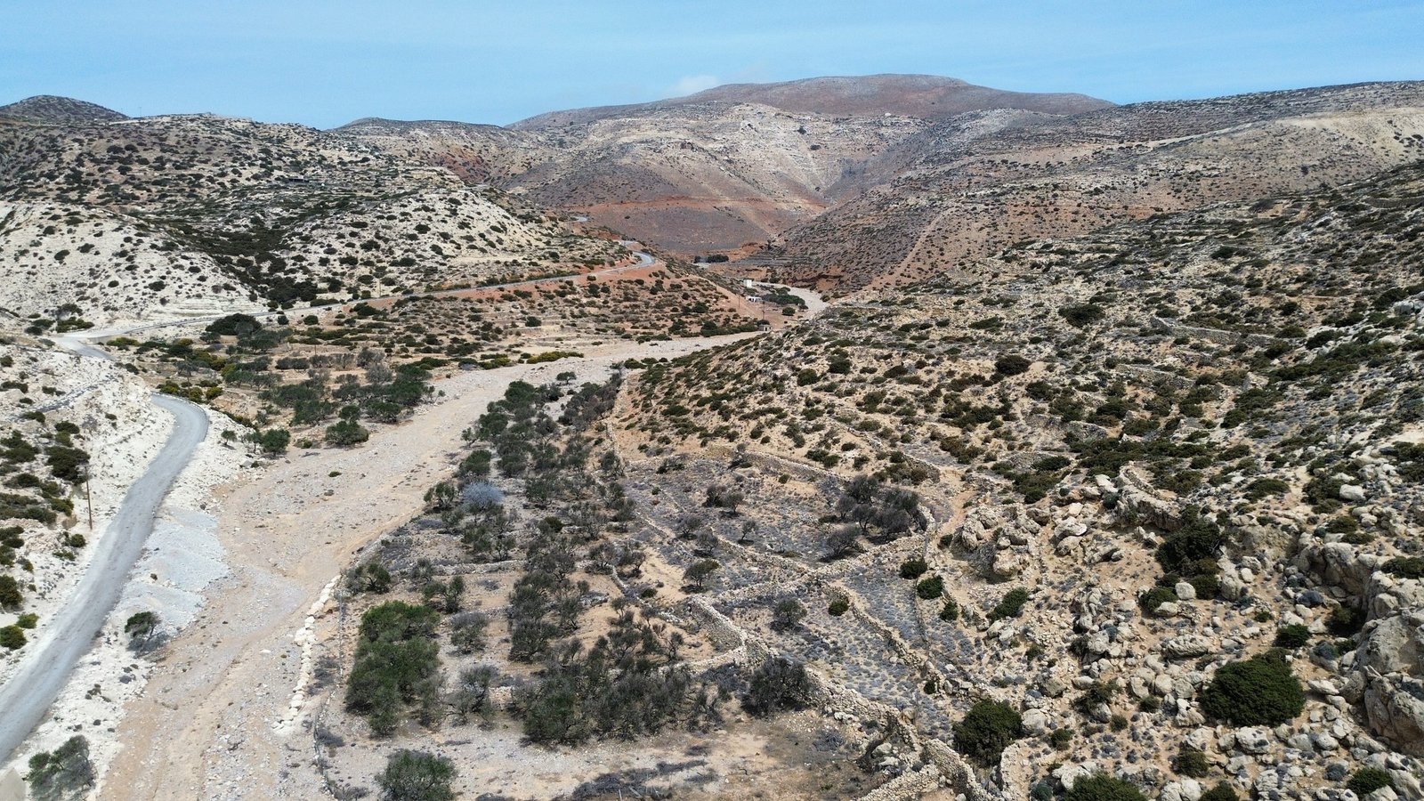
Old paths that once connected pastures and fields are now being revived thanks to an organized network of nine hiking trails. The Kasos Trails, designed by Paths of Greece on behalf of the Municipality, leads the visitor from caves and mountain peaks to abandoned settlements and hidden beaches.
A large part of the old paths that once connected the scattered fields, pastures and settlements of Kasos are preserved in fairly good condition to this day. Recognizing this potential, the Municipality of the Heroic Island of Kasos commissioned the specialized company Paths of Greece to design and implement an organized network, known today as Kasos Trails, which includes nine distinct hiking trails throughout the island, as well as suggested cycling routes. This is the official hiking and cycling program of Kasos, with its own website (kasostrails.gr) where all the routes are presented in detail.
The routes vary considerably in character and difficulty, to suit different levels and interests. Route 1, circular and of moderate difficulty (approximately 9 km), connects almost all the settlements of the island via old paths, starting from Fry and passing through Emporios, Panagia, Poli, Arvanitochori and Agia Marina — essentially a tour of the entire Kasos on foot. Route 2, easier (6.7 km), connects Arvanitochori with the cave of Stylokamara and the chapel of Prophet Elias, at a point with a particularly impressive view.
From Priona to the "wild Kasos"«
Two more routes highlight different sides of the island. Route 4 stands out because it does not pass through any settlements: crossing a rural landscape, it leads from the plateau of Skafi to the top of Megalos Prionas, the highest point of Kasos at 610 meters — a short but easy route (4.9 km) ideal for those who want to see the island from above. Route 6, of moderate difficulty (8.6 km), reveals the wilder side of the island: it starts from the monastery of Agios Georgios in Hadies and ends in Agia Marina, following old paths with branches to Trita beach and the historic cave of Ellinokamara.
The development of the network was also accompanied by printed material: a brochure-map with all the routes and technical details for each was designed by the company Staridas Geography in collaboration with Paths of Greece, based on information provided by Elias Mastropavlos, Minas G. Aspras and Elias Diakakis, with the completion of the study being carried out during the mayoralty of Mary Sorotou-Tsanaki. The brochure is available free of charge from the Municipality and the island's tourist businesses, while digital maps of all the trails —and the entire island of Kasos— are available free of charge through the Avenza Maps application, allowing visitors to use them on their mobile phones even without an internet connection.
Route 07 "Eleftherios Venizelos Trail"«
On September 6, 2025, at a naming ceremony of the Municipality of Heroic Island of Kasos in collaboration with the National Research and Studies Foundation "Eleftherios Venizelos", Route 07 "Platy Avlaki" was renamed "Eleftherios Venizelos Trail". The name commemorates a real episode in the island's modern history: on March 12, 1935, during the March movement, Eleftherios Venizelos disembarked at Platy Avlaki beach, on the west side of Kasos, having departed from Souda the previous night, and spent the night at the chapel of Agios Georgios in Hadies before continuing on to Karpathos.
Sources
The information on this page is based on the following source:
- Municipality of Heroic Island of Kasos: «"Publication of a brochure - map of the hiking trails of the National Park of Kasos"»
- Kasos Trails: Official website of the trail network
- travel.gr: «"The top activities in Kasos"»
- Topoguide.gr: «"Hiking in Kasos"»
- Municipality of Heroic Island of Kasos: «"Naming ceremony of the Eleftherios Venizelos trail"»